|
|
|
|
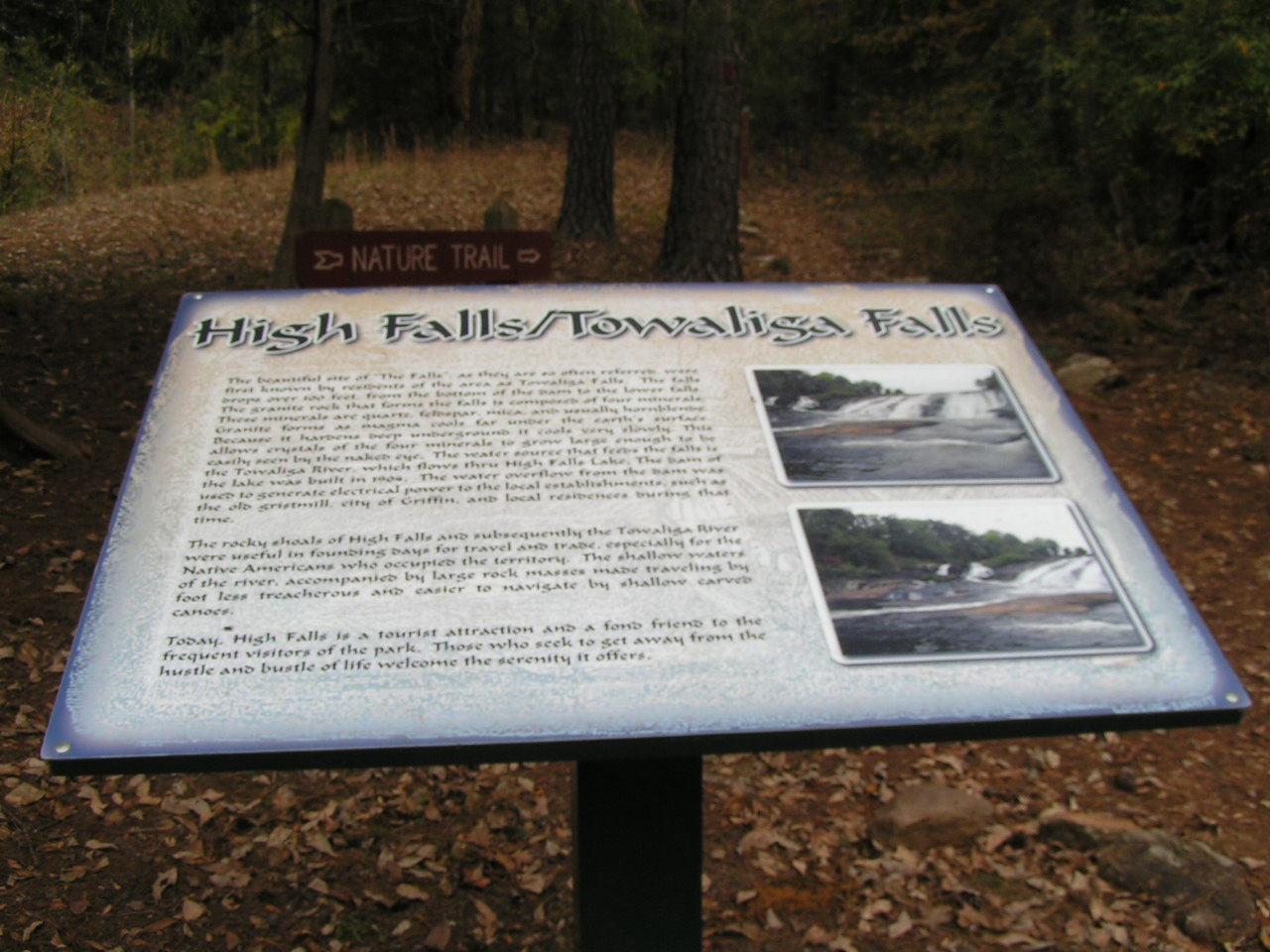
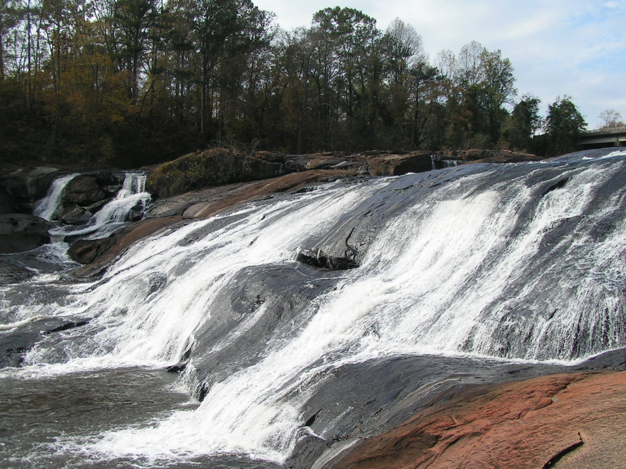
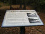
High Falls State Park, situated on about 1,000 acres in the northwestern corner of Monroe County, is located on a site that was once a bustling industrial area. |
|
|
|
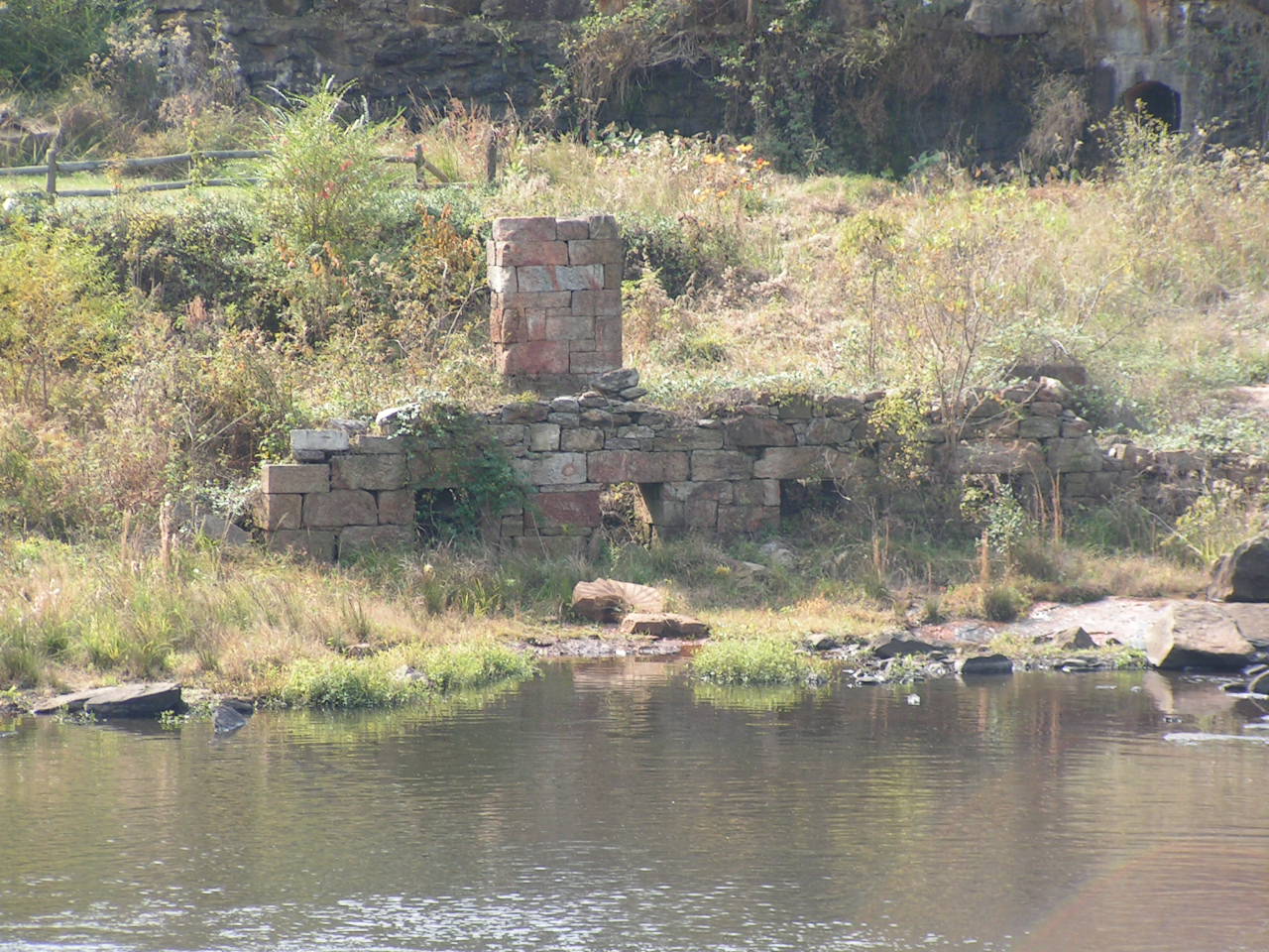
During the Civil War the original grist mill was burned down by Confederates of Wheeler’s Calvary to prevent the capture of stored supplies. The grist mill was later rebuilt and operated until 1960. |
|
|
|
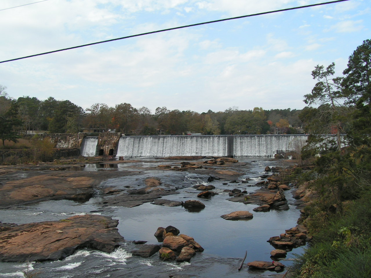
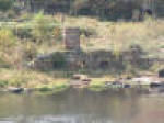
High Falls Lake is behind this dam. |
|
|
|
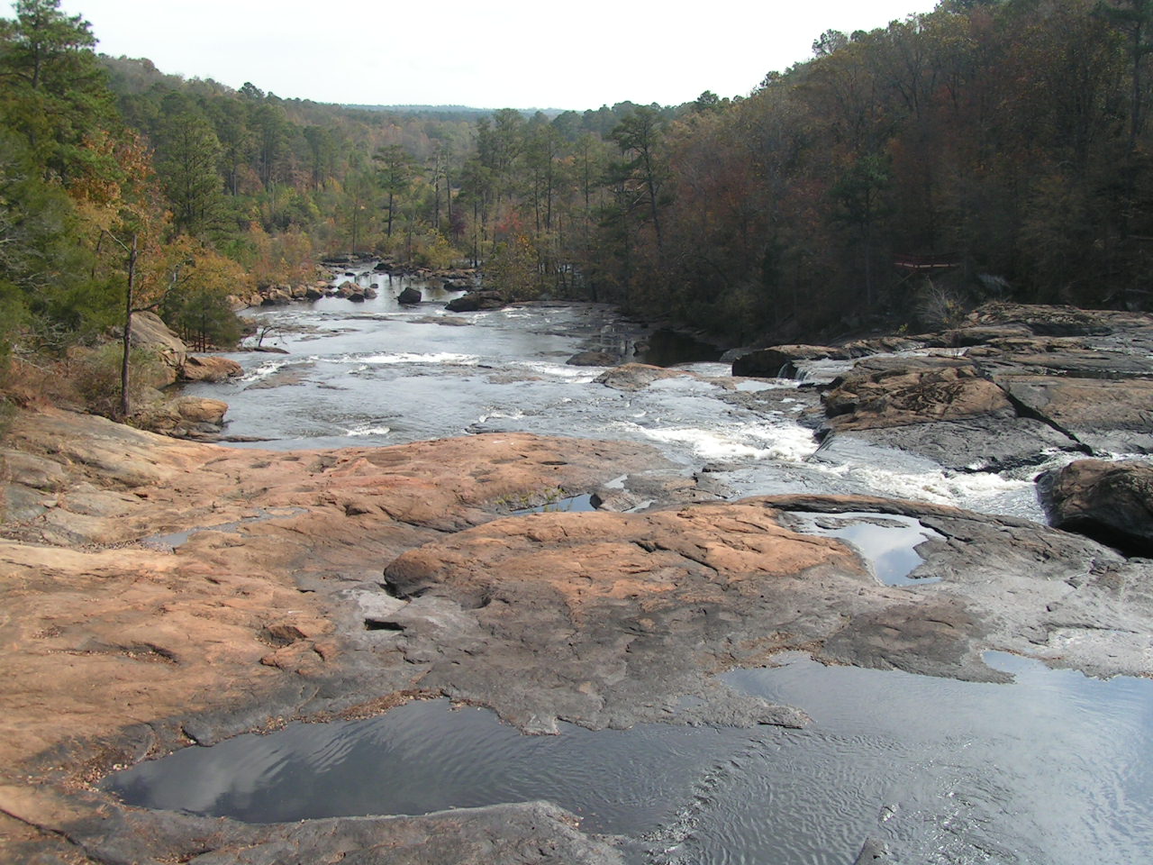
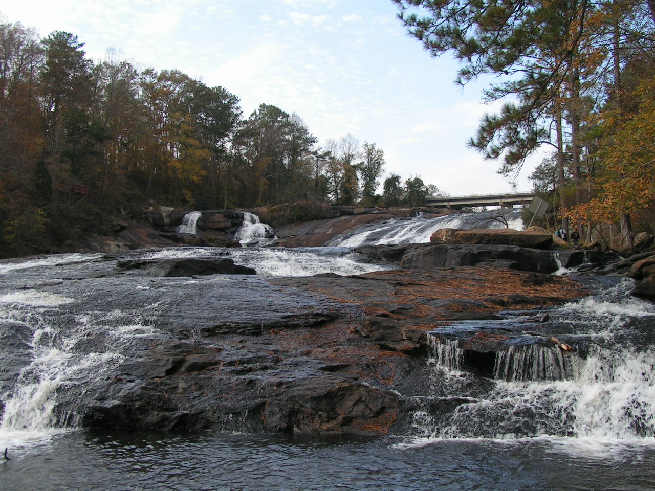
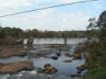
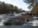
Looking over the falls from the bridge. |
|
|
|
|
|
|
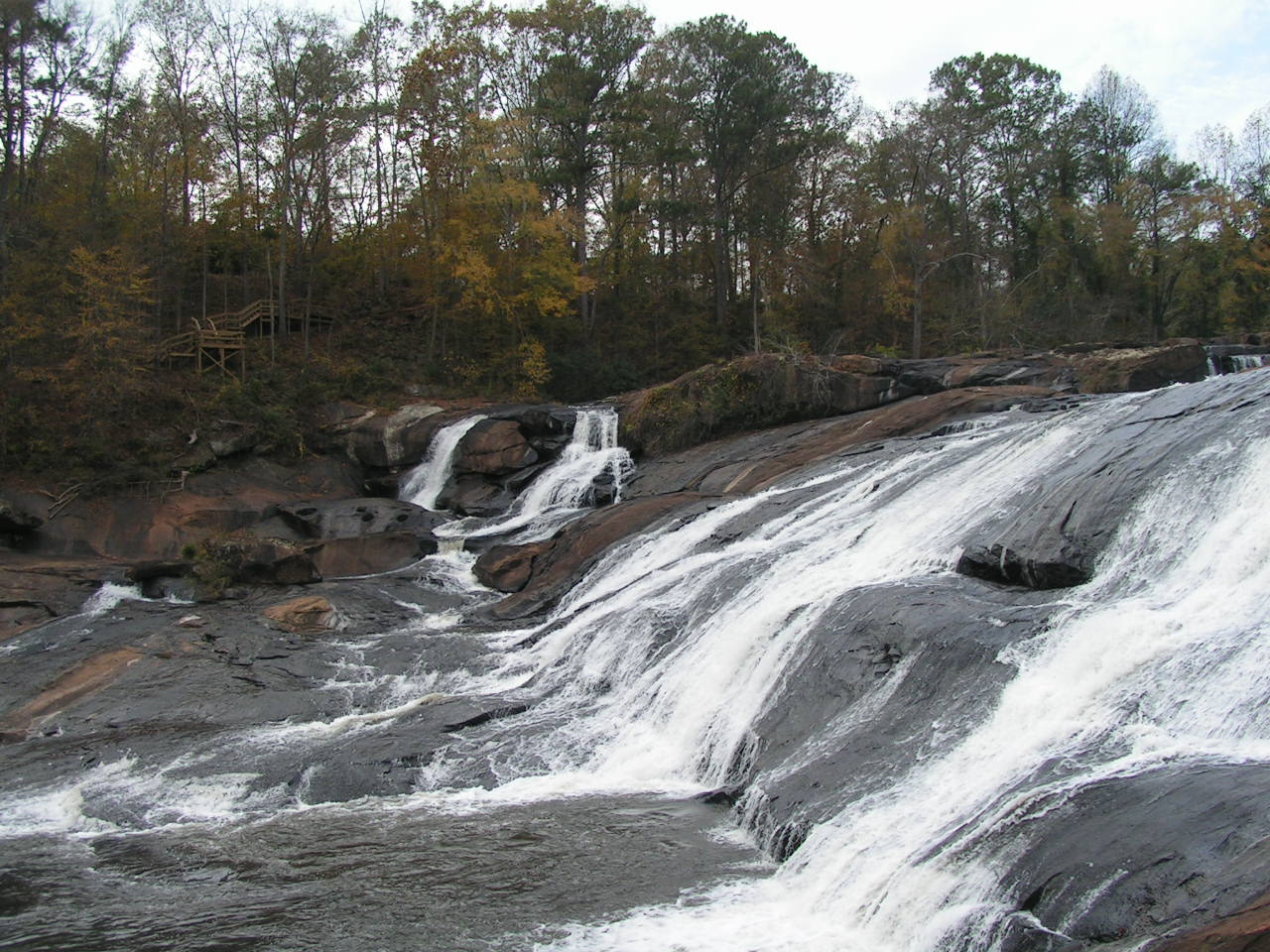
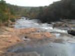
Looking up from the base to the bridge. |
|
|
|
|